
Widespread showers and thunderstorms, some severe, may bring heavy rain and flash flooding in the central Gulf Coast, Mid-Atlantic, the Upper Midwest, the Great Basin and Southwest. A stretch of unusually hot and humid weather is expected across portions of the central U.S. and the Southeast beginning this weekend. Critical fire weather conditions are expected in the Northwest and Great Basin. Read More >
San Joaquin Valley, CA
Weather Forecast Office
Last Map Update: Fri, Jul 18, 2025 at 3:32:10 am PDT

|
Text Product Selector (Selected product opens in current window)
|
|
US Dept of Commerce
National Oceanic and Atmospheric Administration
National Weather Service
San Joaquin Valley, CA
900 Foggy Bottom Rd
Hanford, CA 93230-5236
559-584-3752
Comments? Questions? Please Contact Us.


 Hanford Radar
 Edwards Radar
 Recent Temperatures
 Satellite
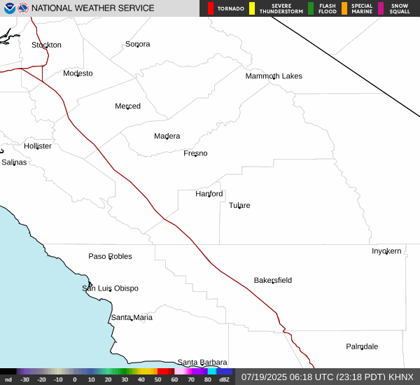
 Weather Map
 Central Valley and Sierra Nevada Smoke Forecast
 Experimental Fog Severity Index
 Social Media
 Caltrans QuickMap
 Drought